Image

The city sits along the scenic Alaska Highway, surrounded by bright skies, open roads and views that stretch for miles. With daily flights, reliable bus routes and road connections across Western Canada, Fort St. John is closer than it looks and worth every kilometre.
Flying north is easier than you think. The North Peace Regional Airport (YXJ) connects Fort St. John to major Western Canadian hubs every day. It’s located just ten minutes from downtown.
The airport offers full amenities, on-site car rentals and an easy start to exploring the Peace River region.
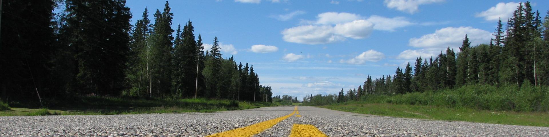
The drive north is part of the story.
Fort St. John sits along the historic Alaska Highway (Highway 97), a fully paved route that winds through the Peace River Valley and connects northern British Columbia to the rest of Canada. Whether you’re coming from the coast or the prairies, the views are wide, the roads are open and the journey is unforgettable.
Major Routes:
From | To | Approx. Drive Time |
|---|---|---|
Dawson Creek | Fort St. John | 1 hour |
Prince George | Fort St. John | 4.5 hours |
Edmonton | Fort St. John | 7.5 hours |
Calgary | Fort St. John | 9 hours |
Vancouver | Fort St. John | 13 hours |
Getting here by bus is simple and scenic. Whether you’re arriving from a nearby community or across the province, there are several options to get you to Fort St. John comfortably.